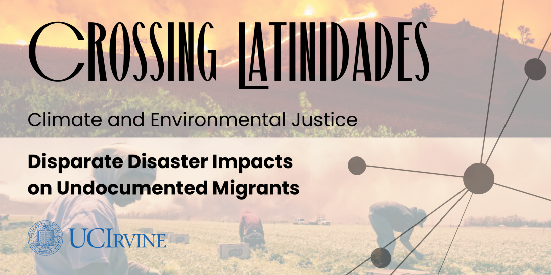
Summary
This research project examines how extreme climatic events, such as wildfires, heatwaves, and droughts trigger existing inequalities of socially vulnerable migrants throughout California. It focuses on undocumented Latino/a and Indigenous migrants who are disproportionately vulnerable to climate change partly because they experience poverty, have limited English and Spanish proficiency, and fear deportation. This research uses humanistic methodologies, such as oral stories, StoryMaps, and archival research to document the differential impacts on undocumented migrants to understand how disaster planning and climate adaptation policy may serve to protect the most vulnerable and stigmatized populations.
Working with the social justice organization throughout California, such as the North Bay Jobs with Justice, the project will provide the opportunity for migrant workers to share their diverse experiences of disaster events.
In addition, the project will be integrated into ArcGIS Story Mapping platform, exploring more in depth the humanistic impacts to Latino and Indigenous migrants during wildfire, drought, and heatwave events. StoryMaps use Geographic Information System (GIS) tools to combine geospatial data with photos, video, audio, and text to visualize a theme or sequential events. Such visual data tools can affect policy change, influence opinion, and create awareness. ArcGIS StoryMaps, moreover, can provide policy narratives a stronger sense of place, illustrate spatial relationships, and add visual appeal and credibility to research finding.
These StoryMaps, moreover, will be supplemented with a qualitative policy analysis of emergency management plans and how they incorporate the needs of migrants in their policies on disaster risk reduction, response, and recovery. In addition to a content analysis of plans and policies, the research team will conduct interviews with government officials, employers, migrant rights groups, and migrant workers.
Data and Analysis
This ArcGIS map is also available on full screen here.
Publications
1) Air quality monitoring and the safety of farmworkers in wildfire mandatory evacuation zones

2) The (in)visible victims of disaster: Understanding the vulnerability of undocumented Latino/a and indigenous immigrants
Videos
Social Media
People

Assistant Professor of Environmental Policy and Planning at the University of California, Irvine
Ph.D. Student in Urban and Environmental Planning and Policy at the University of California, Irvine
Funding for this project provided by:
This project is supported by the Crossing Latinidades Humanities Research Initiative, which ignites cross-institutional and cross-regional comparative research, training of doctoral students, and new scholarship in emerging areas of inquiry about Latina/os. Funded by a grant from the Andrew W. Mellon Foundation, the initiative serves as the anchor of the Alliance of Hispanic Serving Research Universities, a consortium of R1 Hispanic Serving Institutions.
To go back to Crossing Latinidades: Climate and Environmental Justice landing page, please click here.